
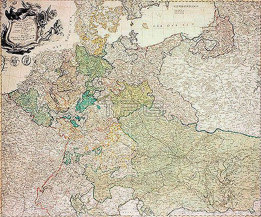
Deutschland; Landkarten.- "TABULA GEOGRAPHICA IMPERII GERMA-NICI".(Postkarte von Deutschland).Kupferstich; 1762; mit Grenz- und Fl鋍henkolorit; 61;8 x 74;2 cm.Hrsg. von der Preu遡schen Akademie der Wissenschaften und K黱ste zu Berlin.Berlin; Museum f黵 Kommunikation.
| px | px | dpi | = | cm | x | cm | = | MB |
Details
Creative#:
TOP17921366
Source:
達志影像
Authorization Type:
RM
Release Information:
須由TPG 完整授權
Model Release:
No
Property Release:
No
Right to Privacy:
No
Same folder images:
 Loading