
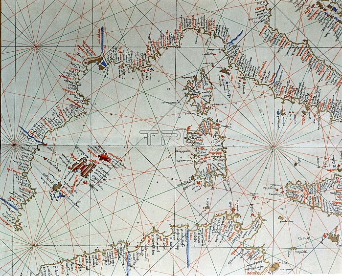
Atlas of Joan Martines, Messina, 1582. Portulan chart of western Mediterranean, with European coast from Cartagena to the south of Naples, islands of Corsica, Sardinia, the Balearic Islands and the coast of North Africa.
| px | px | dpi | = | cm | x | cm | = | MB |
Details
Creative#:
TOP21258745
Source:
達志影像
Authorization Type:
RM
Release Information:
須由TPG 完整授權
Model Release:
No
Property Release:
No
Right to Privacy:
No
Same folder images:
 Loading