
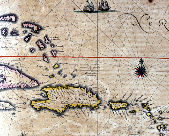
GIA4718107 The Caribbean and Turtle Island (North West of Santo Domingo) on a map by Dutch cartographer Jansson Janssonius. 17th century by Janssonius, Jan (1588-1664); Private Collection; (add.info.: The Caribbean and Turtle Island (North West of Santo Domingo) on a map by Dutch cartographer Jansson Janssonius. 17th century); by Giancarlo Costa; Dutch, out of copyright.
| px | px | dpi | = | cm | x | cm | = | MB |
Details
Creative#:
TOP27703448
Source:
達志影像
Authorization Type:
RM
Release Information:
須由TPG 完整授權
Model Release:
No
Property Release:
No
Right to Privacy:
No
Same folder images:
 Loading