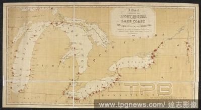
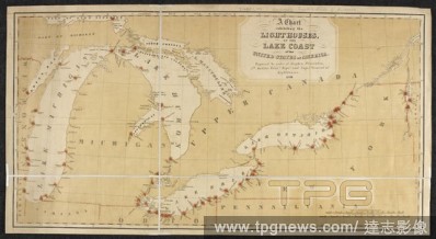
EditorialA chart showing the lighthouses on the coasts of the Great Lakes of America. A Chart exhibiting the Light Houses, on the Lake Coasts of the United States of America ... Scale of statute miles, 150[ = 150 mm]. [Washington], 1848. Source: Maps 71495.(133...
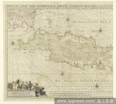
EditorialMap of the western part of Java, Insulae Iavae Pars Occidentalis Edente Hadriano Relando (title on object), Map of West Java and a tip of Sumatra (inks above). There are five compass roses. There are topographical details on the map: rice fields, mount...
EditorialA chart showing the lighthouses on the coasts of the Great Lakes of America. A Chart exhibiting the Light Houses, on the Lake Coasts of the United States of America ... Scale of statute miles, 150[ = 150 mm]. [Washington], 1848. Source: Maps 71495.(133...
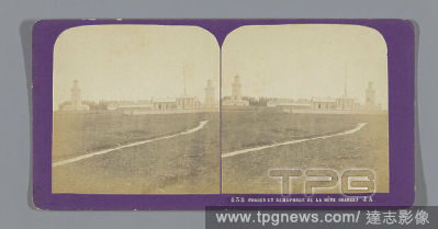
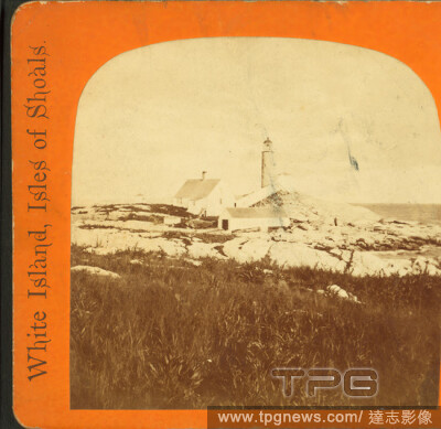
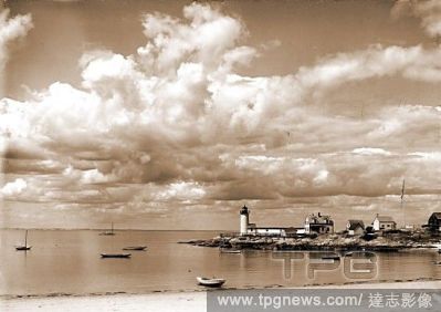
EditorialLight House on White Island., Davis Brothers, White Island Light (N.H.), Lighthouses, New Hampshire, Isles of Shoals (Me. and N.H.), White Island (N.H.).
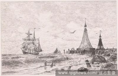
EditorialFanale di villa Franca, John Robert Cozens, 17521797, British, ca. 1780, Graphite on thin, slightly textured, cream laid paper, Sheet: 4 5/8 x 7 1/2 inches (11.7 x 19.1 cm), cliffs, Grand Tour, landscape, lighthouses, rocks (landforms), sailboats, sea,...
EditorialMap of the western part of Java, Insulae Iavae Pars Occidentalis Edente Hadriano Relando (title on object), Map of West Java and a tip of Sumatra (inks above). There are five compass roses. There are topographical details on the map: rice fields, mount...
EditorialA chart showing the lighthouses on the coasts of the Great Lakes of America. A Chart exhibiting the Light Houses, on the Lake Coasts of the United States of America ... Scale of statute miles, 150[ = 150 mm]. [Washington], 1848. Source: Maps 71495.(133...


 Loading